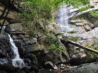
Bertangga Fall
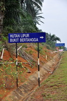
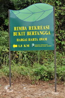
South of the mighty Pahang river, between Tasik Bera and Tasik Chini, a hill range reaches an altitude of about 500 meter. High enough to feed a few waterfalls. One of them is the Bertangga Fall. To reach the Hutan Lipur Bertangga, take the Temerloh exit from the Kuantan highway and follow road nr 10 until Kerayong. Here you turn left into Felda Territory, signboards will lead you to the park where you can park your car.
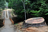
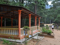
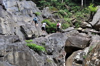
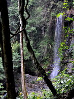
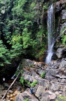
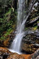
There are some shelters, but on weekdays you will find the place deserted. From the car park it is a short walk to the waterfall. The waterfall is a vertical one and surprisingly tall. Not a lot of water, but very picturesque. To reach the bottom of the fall, you must scramble down the rocks, which can be very slippery.
There is no pool, but it is a nice place to cool down and enjoy the beauty of nature.
You are welcome to send a comment about Bertangga Fall to the webmaster. Click here Nowadays you need a permit for many waterfalls. General information here
Waterfalls can be dangerous ! Always take care about your safety Visitor Comments

| |||||||||||||||||||||||||
| |||||||||||||||||||||||||
