Kait Fall
The road from Simpang Pulai to the Cameron Highlands gives access to several waterfalls. One of them is the Kait waterfall. From Simpang Pulai you follow the road for about 14 km, until you reach a small side road leading to kampong Lalang. You park your car here and follow a clear trail which leads to the Sg Raja. You have to cross this river and that may not always be easy, depending on the water flow. Be very careful!
On the other side of the river, the trail continues until, in less than half an hour you will reach the Kait river. From here you have to river trek, only vague traces of a trail, you will pass cascades and a smaller fall.
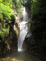
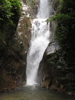
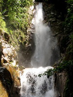
After a few hundred meters you reach the impressive Kait Fall.It is an impressive waterfall, almost vertical, in two steps. Total height 35 meter.
Here is a video of the waterfall.
You are welcome to send a comment about Kait Fall to the webmaster. Click here Nowadays you need a permit for many waterfalls. General information here
Waterfalls can be dangerous ! Always take care about your safety
| |||||||||||||||||||||
|
