Air Terjun Junjong
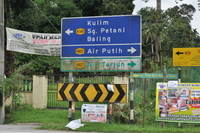
The hills south of Kulim reach an altitude of about 300 m only. Not very high, but high enough for a waterfall, the Junjong fall. From Kulim it's only a 15 km drive. Coming from the NS highway, take exit 158 direction Simpang Ampat. From there take the direction of Kulim until you reach the K145. There are sign boards to the waterfall.
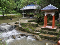
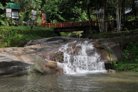
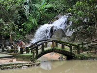
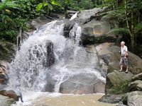
From the carpark it is a short walk to the falls. The place is popular with the locals, there are stalls, and, unfortunately, also quite a lot of rubbish. The lower part of the park has been landscaped, with pools and bridges. The main fall is not spectacular, but attractive
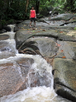
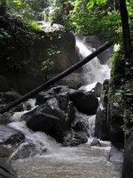
A path leads along the main fall upstream to more cascades and waterfalls, which have not been developed and therefore are more quiet.
You are welcome to send a comment about Junjong waterfall to the webmaster. Click here Nowadays you need a permit for many waterfalls. General information here
Waterfalls can be dangerous ! Always take care about your safety
| |||||||||||||||||||||
|
